Overview
The Periplus Project is a digital platform for the study of ancient geography. It combines an interactive atlas of the ancient world, a text-based gazetteer of ancient geographical references, and a custom-built application for annotating ancient Greek and Latin texts. The project links ancient texts, place names, Wikidata identifiers, and geospatial data, making ancient geography accessible for research, teaching, and public engagement.
The Periplus Project is a digital humanities initiative devoted to the study, mapping, and publication of ancient geographical knowledge. Its name derives from the Greek word periplous, meaning circumnavigation, and also refers to ancient navigational texts that offered practical information about coasts, harbours, landmarks, and maritime routes.
The project consists of three interconnected components: the Periplus Atlas, the Periplus Logos, and the Periplus App. The Periplus Atlas is an interactive digital map of the ancient world. The Periplus Logos is a systematic attempt to identify, catalogue, and annotate geographical terms in ancient Greek and Latin literature. The Periplus App is a custom-built platform that allows ancient texts and their translations to be processed, annotated, linked to maps, and automatically published as interactive HTML pages. The project website defines these three components as the core architecture of Periplus.
The platform aims to integrate ancient texts with geospatial data. Readers can move between text and map, visualize geographical references, and explore the spatial logic of ancient literary descriptions. The first published text is the Periplus of the Erythraean Sea, while further works of ancient geography, including Pseudo-Skylax, the Stadiasmus Maris Magni, Strabo, and Claudius Ptolemy, are in preparation.
History of Research
The broader project developed out of the need for more accurate and usable maps for teaching and research in ancient history, archaeology, and historical geography. Existing printed and digital resources were either difficult to use, insufficiently detailed, or problematic for the study of the ancient Near East and the prehistoric periods.
In 2018 a new repository of geographical data was created in ArcGIS Pro, combining open-access datasets with data collected and corrected by the project team. This first stage revealed the scale of the problem: many available datasets contained duplicate entries, imprecise coordinates, incorrect identifications, and inconsistent metadata. The project therefore shifted its focus toward the systematic correction, enrichment, and harmonization of ancient geographical data.
The first major phase of work concentrated on the creation of a reliable core dataset. The team began with the index of Greek poleis compiled by Hansen and registered approximately 1,000 Greek cities of the Geometric, Archaic, and Classical periods, recording their names, chronological phases, cults, and geographical positions. In 2019 a first online map based on this work was published through ArcGIS Online.
Between 2019 and 2022, the project developed into a collaborative digital humanities initiative involving a large group of undergraduate and postgraduate students. A browser-based editing application allowed students to work remotely on selected datasets, especially rivers and other geographical features. The project was therefore already equipped for remote collaborative work during the COVID-19 lockdowns.
A major transformation took place when the project moved away from ArcGIS Enterprise and began developing its own web-based database environment. The new system is hosted on a virtual server provided by GRNET and is based on open-source technologies, including Ubuntu Server, PostgreSQL, Python, JavaScript, Apache2, and Node.js. The custom Periplus App was then developed to process texts, generate databases, create tokenized HTML texts, and publish interactive web pages automatically.
Methodology
The methodology of the Periplus Project combines GIS, textual scholarship, database design, and digital publication. The Periplus Atlas provides the geospatial framework. It has been developed using ArcGIS Pro and ArcGIS Online and includes settlements, rivers, mountains, capes, regions, islands, water bodies, and other geographical entities. The project has substantially improved earlier datasets by correcting locations, removing duplicates, adding new features, and introducing Greek, Latin, and modern place-name variants.
The Periplus Logos focuses on the systematic annotation of ancient texts. Rather than relying only on automatic algorithms, the project emphasizes careful human examination of ancient Greek and Latin texts. This makes it possible to identify not only direct place names but also indirect references to geographic entities. The first phase prioritizes ancient geographical texts, because these can directly enrich the Periplus Atlas.
The Periplus App processes ancient texts from structured Excel files. When a text is imported, the application identifies each word, assigns it a unique identifier, and stores the data in a database. The text is then reconstructed as HTML, with each word functioning as an individual tag that can receive annotations. Users can add geographical tags to the original text or to translations, and these tags can be linked to the Periplus Atlas. The app can also generate complete HTML pages for books, sections, and paragraphs automatically.
The project also uses linked data. Wikidata identifiers are recorded wherever possible so that ancient geographical entities can be connected to wider digital knowledge systems, including Wikipedia. The long-term goal is to create a durable and interoperable gazetteer of ancient geographical terms.
Main Results
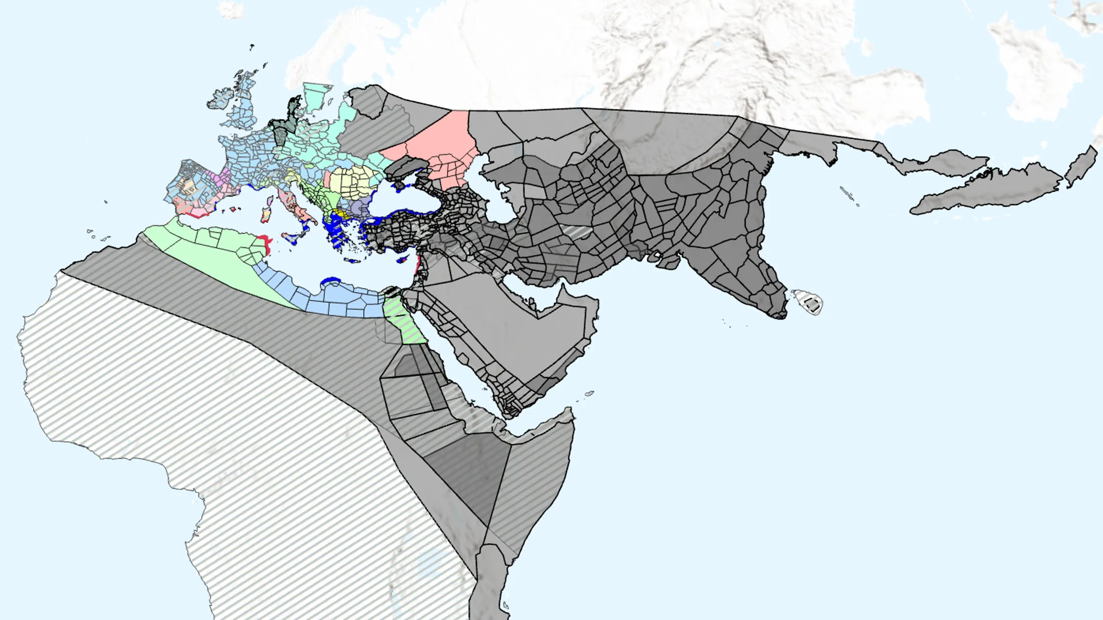
The Periplus Project has produced one of the most detailed digital maps of the ancient world currently available for research and teaching. The dataset is searchable by Greek, Latin, and modern names, and it includes links to Pleiades and Wikidata where possible. The map page allows users to search features, choose label systems, switch between base maps, and display different categories such as capes, monuments, lakes, mountains, regions, rivers, settlements, and water bodies.
The project has generated a large curated repository of ancient geographical data. According to the project documentation, the database includes thousands of rivers, lakes, water bodies, mountains, capes, settlements, regions, monuments, and archaeological sites. The project text records 2,677 rivers, 1,519 lakes, 224 water bodies, 642 mountains, 430 capes, 15,327 settlements, 2,886 geographical regions, 19,602 anthropogenic monuments, and 13,847 archaeological sites, although some of these datasets remain unpublished while they continue to be checked.
A particularly important result is the collection of ancient and modern place names. Between 2019 and 2024 the project registered approximately 400,000 ancient and modern toponymic variants, including names in polytonic Greek, Latin transliteration, Latin, and modern languages. This makes the project especially valuable for the study of ancient Greek geographical terminology.
The project has also improved existing open-access geographic data. In 2021 a copy of the project repository was provided to Pleiades, contributing to the correction or enrichment of approximately 5,000 geographical entities. The project has also developed its own ArchaeoCosmos Basemap, made available through ArcGIS Online.
The first fully published text is the Periplus of the Erythraean Sea. The website presents this text together with an interactive map and hyperlinked geographical references. This publication model will be extended to further ancient geographical works, including Pseudo-Skylax, the Stadiasmus Maris Magni, Strabo, and Claudius Ptolemy.
The project has also demonstrated the broader potential of GIS and digital humanities for historical geography. By combining ancient texts, geospatial data, Wikidata identifiers, and interactive publication, Periplus creates a platform through which ancient geographical thought, trade routes, settlement systems, political geography, and spatial networks can be studied in a more integrated way.
Project Team
• Konstantinos Kopanias, Department of History and Archaeology, NKUA; Project Coordinator.
• The project operates under the auspices of the Research Center for Digital Humanities at the University Center for Research and Innovation, NKUA, directed by Prof. D. Plantzos.
• Group supervisors: P. Barlagianni, G. Doulfis, A. Gerochristou, A. Ladas, Str. Mavros, D. Papageorgiou, K. Sidiropoulou, and E. Vemou.
• Student participants: the project involved a large group of undergraduate and postgraduate students of the Department of History and Archaeology, NKUA, who contributed to the correction, enrichment, and annotation of geographical data.